
INTERGEO 2026: XGRIDS Unveils Lixel L3, Advancing the Future of Reality Capture
At one of the geospatial industry's leading international events, XGRIDS introduced its flagship Lixel L3 scanner, bringing together validated 5 mm relative accuracy, photorealistic 3D reconstruction and an integrated spatial capture workflow.
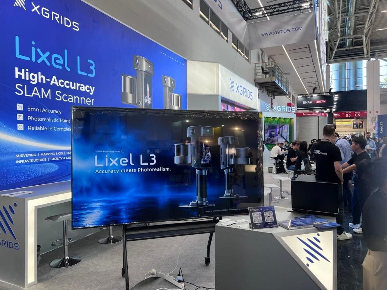
A Major Step Forward in Spatial Capture
Held in Munich from 15–17 September 2026, INTERGEO brought together professionals, technology providers and decision-makers from across the global geospatial community. With more than 530 exhibitors and visitors from 119 countries, the event provided an important platform for exploring the technologies shaping the future of surveying, geoinformation and digital transformation.
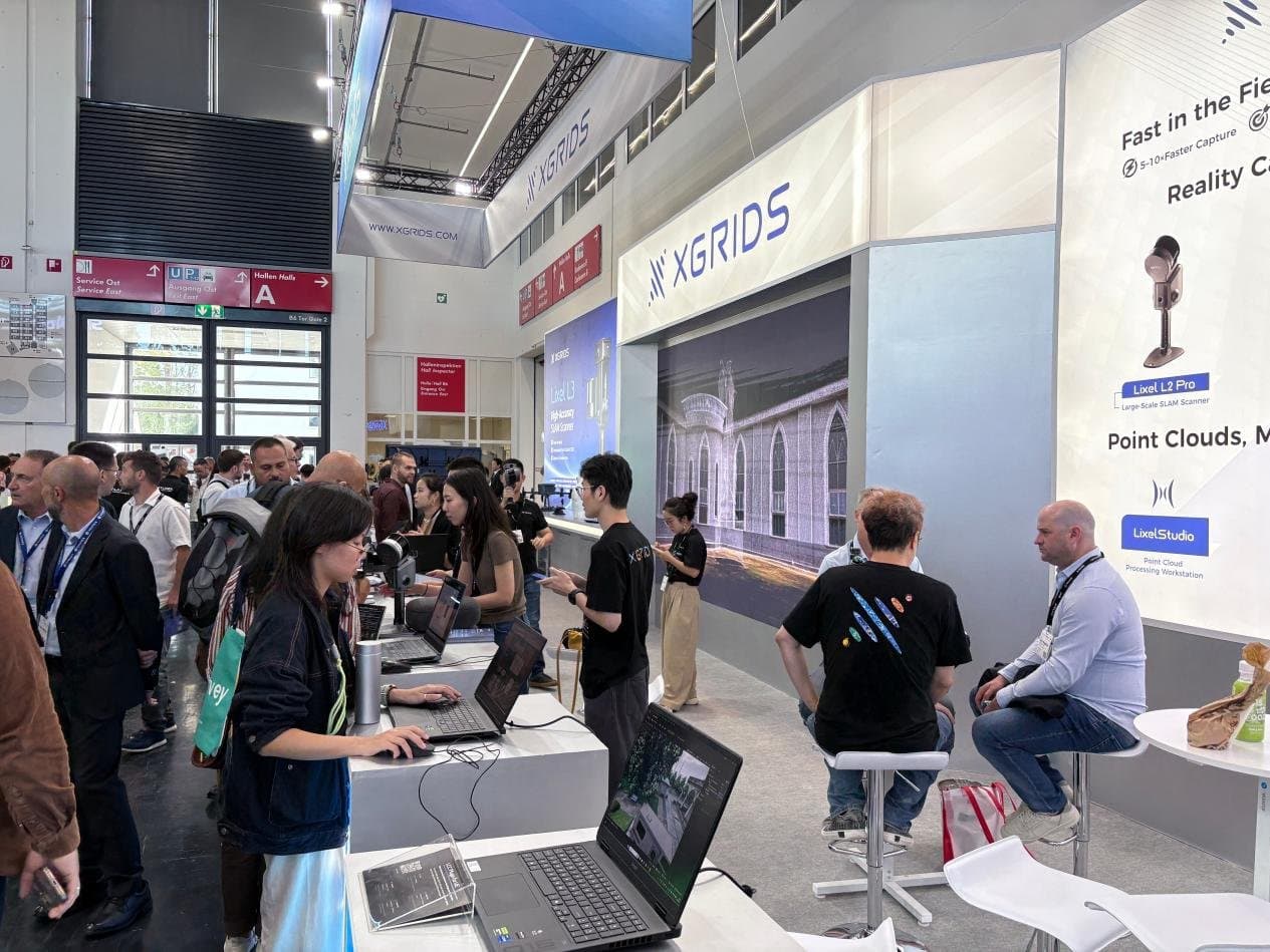
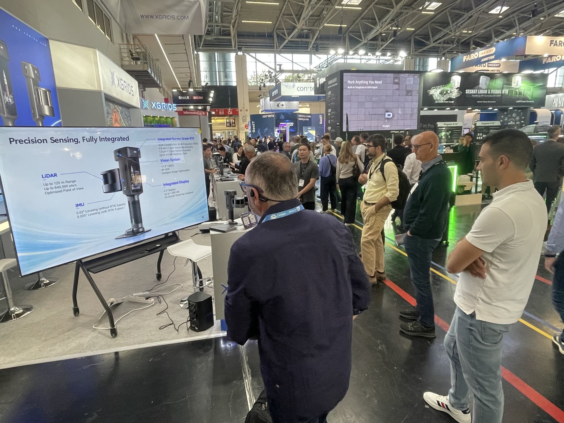
Among this year's key developments, XGRIDS unveiled the Lixel L3, its flagship high-accuracy spatial scanner. Designed to bridge the gap between precise measurement and photorealistic digital reconstruction, the L3 represents a significant step forward in how physical environments can be captured, processed and transformed into usable digital assets.
For professionals working with complex sites and demanding projects, the focus is no longer simply on capturing more data. It is about obtaining reliable spatial information efficiently and turning it into outputs that support real-world decisions.
Lixel L3: Precision Meets Photorealism
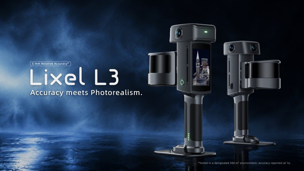
At the heart of the Lixel L3 is its validated 5 mm relative accuracy, demonstrated against measured reference data in a documented test. Combined with approximately 2.5 cm real-time absolute accuracy, the system is designed to support applications where dependable spatial data is essential.
But accuracy is only part of the story.
The L3 integrates high-accuracy LiDAR, a true-colour vision system, RTK positioning and a built-in display into a single device. By bringing geometry, colour and positioning together, it enables users to capture physical environments with both precise structural detail and rich visual information.
Its imaging system combines a 1/1.3-inch CMOS sensor with 4K HDR imaging, helping preserve the colours and surface details that make digital reconstructions more recognisable and useful.
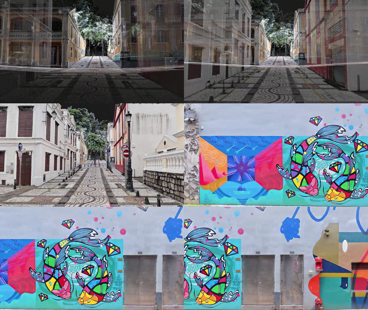
The result is a versatile capture workflow capable of producing multiple forms of 3D output from a single data collection process, including:
- True-colour point clouds for detailed spatial analysis and measurement.
- 3D mesh models for geometric representation and further processing.
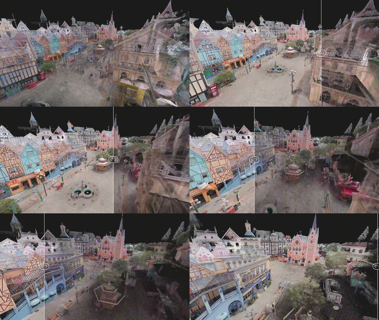
- Photorealistic 3D Gaussian Splatting (3DGS) models for immersive visualisation and digital content applications.
This combination brings together two requirements that have traditionally demanded different approaches: the geometric reliability needed for technical work and the visual richness needed to communicate a space convincingly.
From Field Capture to Practical Results
The value of a scanning system depends not only on the quality of its data, but also on how efficiently that data can be collected and put to use.
The Lixel L3 is designed with this broader workflow in mind. Under typical conditions, it can cover approximately 100 m² in 10 minutes, producing high-accuracy spatial data and photorealistic 3D models. Its integrated display provides on-site feedback, while SLAM-based tracking, vision-assisted localisation and levelling optimisation help maintain scan stability and manage accumulated drift during longer sessions.
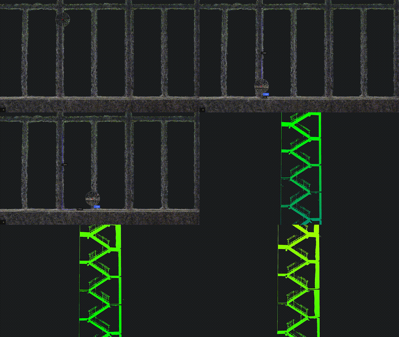
Rather than treating acquisition, reconstruction and visualisation as separate tasks, the L3 brings them closer together within a unified process. For professionals managing large buildings, complex interiors or extensive existing sites, this integration can help reduce friction between capturing a space and preparing its digital representation.
Expanding the Possibilities of Reality Capture
The Lixel L3's capabilities are relevant across a growing range of professional applications.
In surveying and mapping, reliable spatial data provides a foundation for documenting existing conditions and understanding complex environments. In architecture, engineering and construction (AEC), detailed digital representations can support renovation projects, coordination and the development of building information models. In digital twins and 3D visualisation, photorealistic models help teams communicate spatial information more intuitively and explore environments digitally.
The growing role of 3D Gaussian Splatting adds another dimension. By preserving the visual character of real environments, 3DGS makes captured spaces useful beyond conventional measurement and modelling, extending into immersive experiences and digital content creation. Integrated capture solutions are becoming increasingly important to the way physical environments are documented and understood.
Bringing Spatial Innovation Closer to European Professionals
For professionals evaluating new capture solutions, technical specifications are only one part of the decision. Understanding how a system fits into existing workflows, what outputs it can deliver and how it supports specific project requirements is equally important.
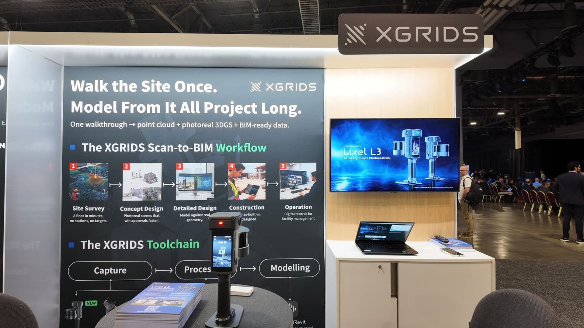
Sunova's focus is on helping European customers explore the practical potential of XGRIDS solutions, from spatial data acquisition and 3D reconstruction to the workflows that bring these digital assets into everyday professional use.
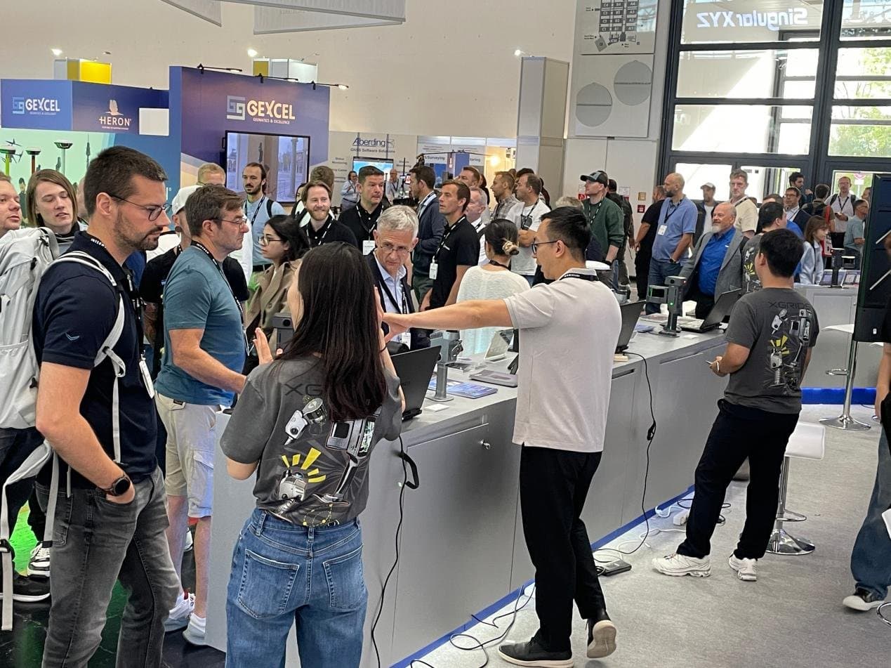
Throughout INTERGEO 2026, the Sunova team welcomed visitors to explore XGRIDS' latest spatial capture technologies through live demonstrations and face-to-face discussions. The event provided an opportunity to showcase the Lixel L3 in practice, exchange insights with professionals across the geospatial industry and discuss how advanced reality capture solutions can address the needs of real-world projects.
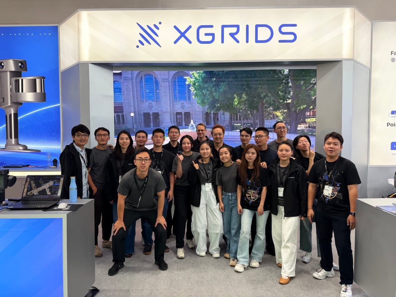
These conversations reinforced the importance of bringing technology beyond specifications and into practical workflows, helping professionals understand not only what is possible, but how it can be applied in their own work.
Making Reality More Useful
INTERGEO 2026 offered a clear view of an industry moving beyond data collection alone. As expectations for accuracy, visual quality and workflow efficiency continue to grow, the next stage of reality capture will depend on how effectively these capabilities work together.
The Lixel L3 reflects this direction: capturing physical environments with greater precision, reconstructing them with richer visual detail and making the resulting data available for a wider range of applications.
The future of reality capture is not just about capturing reality more accurately, but about making it more useful.
The highlights do not end here, and our dialogue continues. You are warmly invited to mark your calendar and join us next year in Frankfurt at INTERGEO 2027, to discuss technological innovations and explore new business opportunities side by side!