Mechanical-shutter mapping
The 20 MP wide camera uses a mechanical shutter to reduce rolling-shutter distortion; JPEG intervals start at 0.5 seconds.

Capture with mapping in mind
Built around a 4/3-inch wide camera with mechanical shutter, RTK and fast interval capture for surveying, modelling and project documentation.
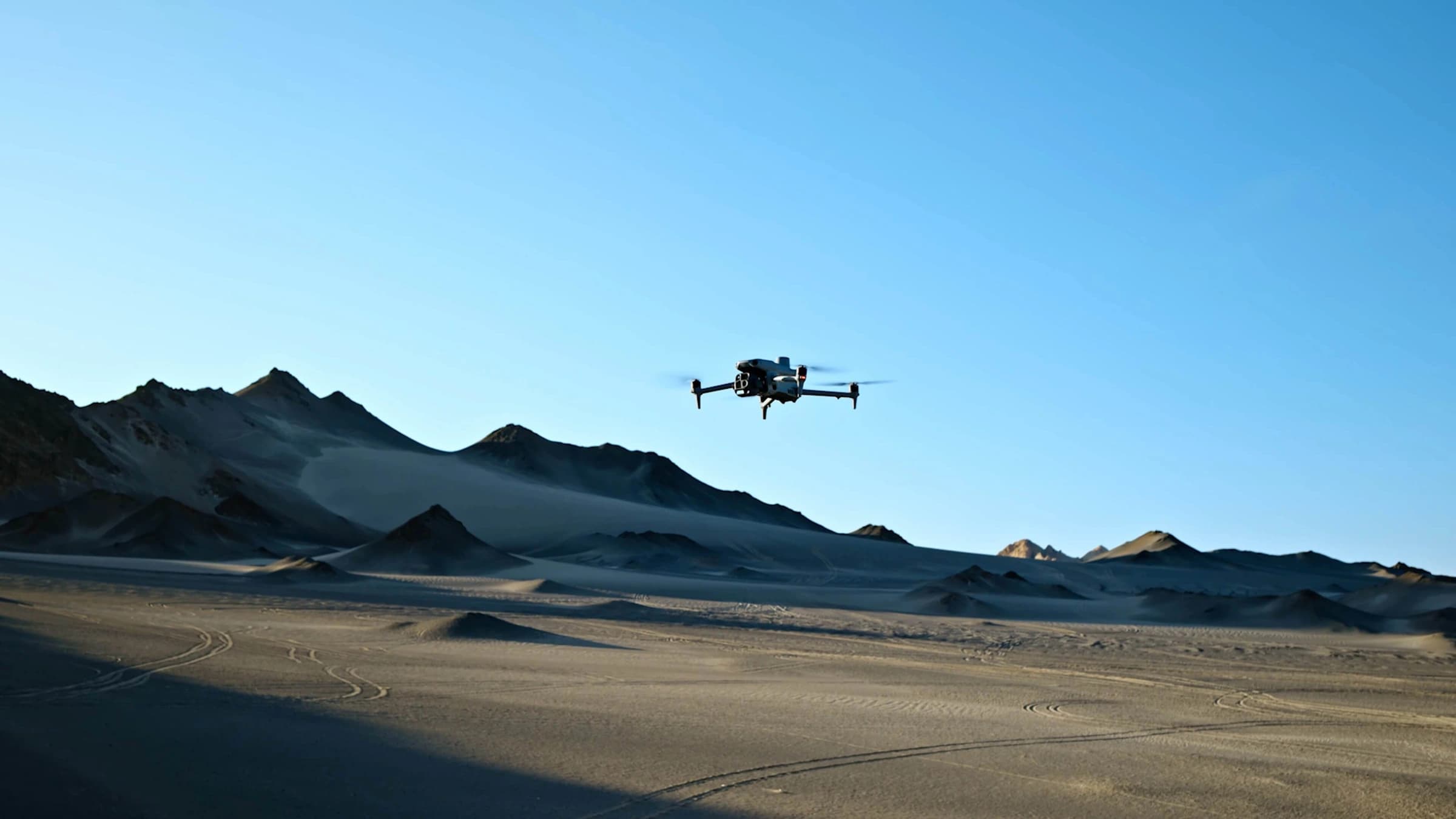
Figures are DJI test values under specified conditions. Actual performance varies with load, environment and configuration; see the specification notes.
Inspection & mapping
Capture with mapping in mind
DJI official product informationThe 20 MP wide camera uses a mechanical shutter to reduce rolling-shutter distortion; JPEG intervals start at 0.5 seconds.
Smart oblique and five-directional oblique capture support imagery collection for buildings and terrain models.
Integrated RTK with correction data provides precise image positions. Outputs still depend on routes, overlap and processing.
70 mm and 168 mm tele cameras plus laser ranging complement site documentation with detail views.
Five-directional oblique capture gathers multiple views of buildings and terrain for 3D reconstruction.
Discuss your configurationThree-directional ortho capture adds lateral imagery to mapping missions. Process data in DJI Terra for surveying, construction and mining projects.
Discuss your configurationOfficial DJI demonstrations. Configuration and results depend on equipment, software versions and operating conditions.
Select a direction to explore and include it in your enquiry. These are not confirmed sales packages.
Plan mapping missions in DJI Pilot 2 and choose nadir or oblique capture for the project.
Enquire about this optionCompare models, operating modes and optional equipment separately, rather than relying on peak figures.
| Wide camera | 4/3″ CMOS · 20 MP · 24 mm |
|---|---|
| Mechanical shutter | 2–1/2000 s |
| Min. photo interval | 0.5 sJPEG; JPEG+RAW starts at 2 seconds. |
| Max. flight time | 49 minStandard propellers, no accessories, no wind, about 9 m/s to 0% battery; 46 min with low-noise propellers. |
| Tele cameras | 48 MP · 70 mm / 48 MP · 168 mm |
| Laser rangefinder | 1,800 mAt 1 Hz with a 20% reflective target; performance depends on target and environment. |
| RTK fixed-solution accuracy | 1 cm + 1 ppm / 1.5 cm + 1 ppmHorizontal / vertical; positioning accuracy is not final survey accuracy. |
| Transmission range (CE) | 12 kmCommunication test range without obstruction or interference, not a round-trip operating radius. |
| Takeoff weight | 1,219 gWith standard propellers, battery and microSD card. |
| Operating temperature | −10–40 °C |
| Max. wind resistance | 12 m/sDuring takeoff and landing. |
No. 4E focuses on mechanical-shutter mapping; compare Matrice 4T for thermal or temperature information.
Not necessarily. Choose a correction source based on network RTK coverage, connectivity and accuracy needs. Onboard RTK does not include a correction service or guarantee final output accuracy.
We will itemise the aircraft, task systems or accessories, batteries, charging equipment and requested software/services. Images and capabilities do not mean everything is included; the confirmed quotation defines the package.
Tell us about the task, delivery region and existing equipment. We will check configuration, services, price and lead time. Submitting this form does not place an order or take payment.
DJI Matrice 4E
Selected enquiry topic
Not selected; describe your needs below
DJI Matrice 4E
Get a quote