
Lixel L3
Measure precisely. Capture reality.
LiDAR, true-colour vision, RTK and a touchscreen in one device. One capture preserves geometry for engineering measurement and visual detail for spatial presentation.
Detail you can measure.
L3 specifies real-time and post-processed accuracy separately. Check capture results on site, then process the data to meet your delivery requirements.
From field checks to precise deliverables
- Post-processed relative accuracy¹
- 5 mm
- Real-time relative accuracy²
- 1 cm
- Post-processed absolute accuracy³
- 2 cm
¹ Dedicated 500 m² test environment, 1σ. ² Laboratory conditions. ³ Horizontal and vertical RMSE under open sky, with favourable GNSS and atmospheric conditions and no multipath effects. Actual performance varies with working conditions.
Beyond geometry,
capture the colours of the scene.
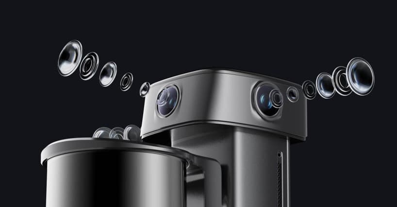
Two panoramic cameras and one forward camera combine 1/1.3-inch CMOS sensors, 4K resolution and DCG HDR to retain highlight and shadow detail for true-colour point clouds, textured meshes and 3DGS.
4096 × 3072 resolution · 2 panoramic + 1 forward
One space. Three ways to deliver.
Explore the results before choosing your processing path. Switch between official videos to see point cloud detail, mesh surfaces and 3DGS presentation.
Measurement and engineering analysis
Preserve spatial geometry and colour for measurement, sections, volume calculations and further engineering work.
- Processing software
- LixelStudio
- Output formats
- LAS · E57 · RCP · PLY · ILAS
Real-time point clouds are visible during capture. The deliverables shown here require the corresponding processing software. Both 3DGS and engineering point clouds may use PLY, but their data content differs.
See what you scan,
while you are on site.
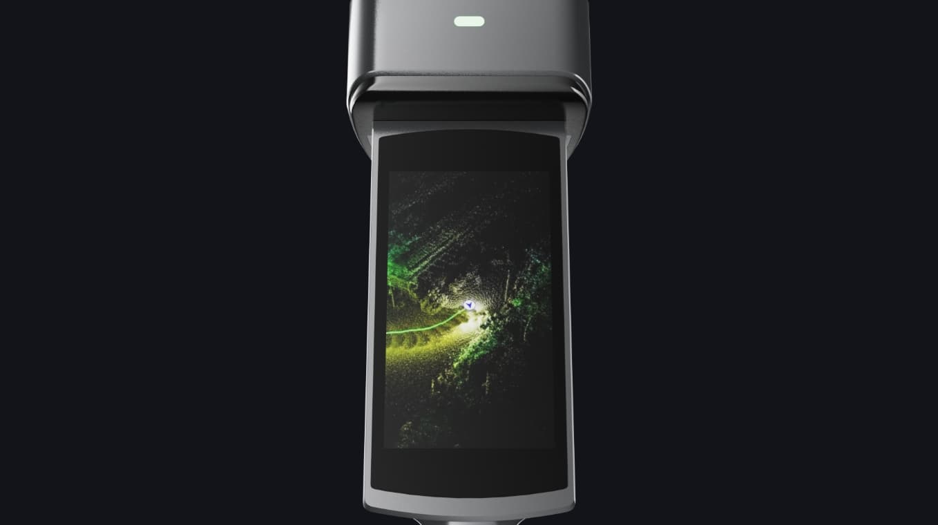
A built-in 4.3-inch touchscreen with up to 1,000 nits brightness shows true-colour point clouds as you walk. Scan assistance and real-time quality checks help identify gaps in coverage.
- Real-time true-colour point clouds and vision-aided positioning
- Model preview, on-model measurement and POI panorama preview
- AI dynamic object removal and noise filtering
From real spaces to digital applications.
Capture, processing and applications form a complete spatial digitisation workflow.
Spatial intelligence platform
Physical worldDigital world
Data capture
Record the shape and colour of spaces
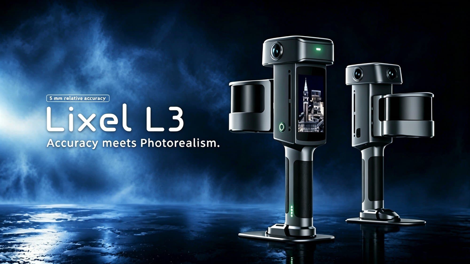
Lixel L3
LiDAR · Vision · RTK · IMU
Check live point clouds and capture quality on site
Data processing
Choose the deliverables you need

LixelStudio
Engineering point clouds · Textured meshes
Measurement and analysis
LCC Studio
Lixel CyberColor
3DGS reconstruction · Editing · Publishing
Data applications
Put data to work in real projects
Web
Web presentation
Unreal Engine
3D engine
Unity
Interactive development
Cesium
Geospatial
Autodesk
Engineering design
Vision Pro
Spatial experiences
Connect through suitable formats, plugins or SDKs
Technology behind the workflow
Multi-SLAM
Multi-sensor fusion
High-performance computing
Data processing
3D Gaussian Splatting
Real-world reconstruction
Spatial AI
Spatial understanding and computing
XGRIDS platform workflow overview. Not every format can be imported directly into every platform; check software versions, plugins and licences.
Specifications for your decision.
Full official specificationsL3 comes in 16- and 32-channel versions with different point rates. Match the version to your scanning task, required data density and deliverables.
Measurement & imaging
- Relative accuracy
- 5 mm (post-processed, 1σ; dedicated 500 m² test site)
- Range
- 0.7–120 m
- Point rate
- 320,000 / 640,000 pts/s, for 16 / 32-channel versions
- Field of view / laser class
- 360° × 270° / Class 1, 905 nm
- Vision system
- 2 panoramic + 1 forward; 4096 × 3072; 1/1.3-inch CMOS; DCG HDR
- Levelling accuracy
- With RTK: 0.005°; without RTK: 0.02°
- Levelling test conditions
- Without RTK: 2,000 m² laboratory scene. With RTK: open sky, favourable GNSS and atmosphere, without multipath.
- RTK module accuracy
- Horizontal 0.8 cm + 1 ppm; vertical 1.5 cm + 1 ppm
Hardware & fieldwork
- Storage
- 1 TB UFS
- Rated operating time
- 100 minutes
- Ingress protection
- IP54
- Weight / dimensions
- Approx. 2.5 kg incl. battery; 206 × 107 × 329 mm
- Operating temperature / interface
- −20–50 °C / USB 3.1 Gen2
Data & ecosystem
- Point cloud export
- LAS / RCP / E57 / PLY / ILAS
- Mesh / 3DGS / other
- OBJ, OSGB / LCC2, LCC, PLY / 3D Tiles (.3tz), USD
Before you order
- Device version
- 16 / 32 channels, delivering 320,000 / 640,000 points/s.
- Standard accessories
- Base mount, charging hub and portable hard case with backpack system.
- Options and software
- The support rig is optional. Processing software and licence scope are confirmed separately in the quotation.
- Test conditions
- Accuracy, levelling and battery life depend on working conditions. RTK module positioning accuracy is not the same as final model accuracy.
05 / Enquire
Discuss the product and your project
Tell us about your site, area and deliverables. We will confirm equipment, software, accessories and a quotation.
XGRIDS
Lixel L3