Process and fuse
SLAM mapping, loop closure, moving-object removal and coordinate transformation; combine sessions through RTK, GCPs or tie points, with PPK support.

XGRIDS
Process, check and export Lixel scan data, connecting raw capture to CAD, GIS and BIM workflows.
Explore capabilities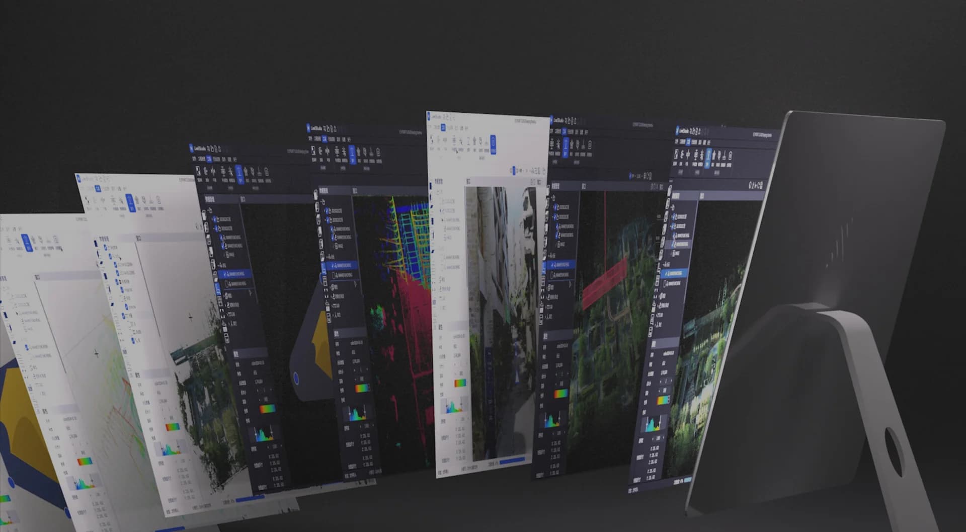
LixelStudio / 01
SLAM mapping, loop closure, moving-object removal and coordinate transformation; combine sessions through RTK, GCPs or tie points, with PPK support.
Check-point reports, cloud slicing, point/distance/area/angle measurements, panorama linking, 2D contour extraction and stockpile volume analysis.
Built-in and custom coordinate systems, seven-parameter transformations and geoid models; LAS, E57, RCP and OBJ / OSGB mesh exports.
LixelStudio / 02

Checkpoint statistics make data quality reviewable before delivery.
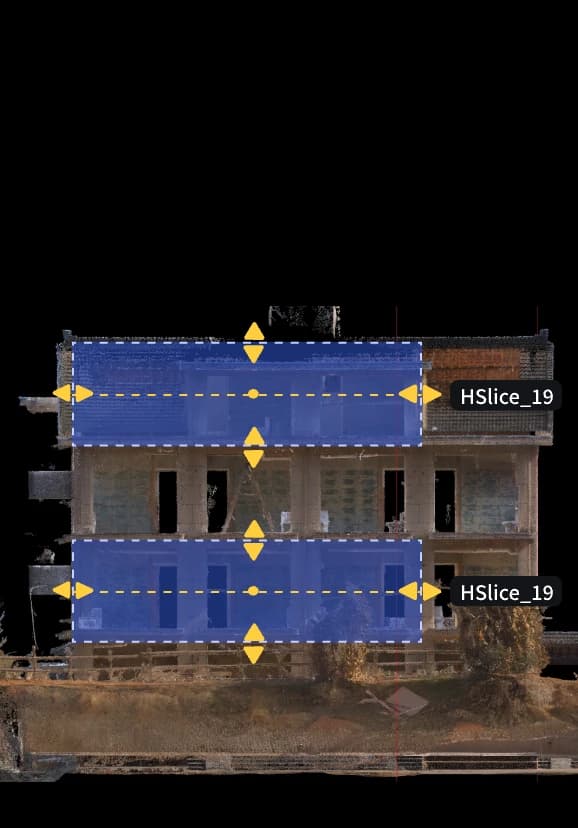
Horizontal and vertical sections and contour extraction support plans and sections.
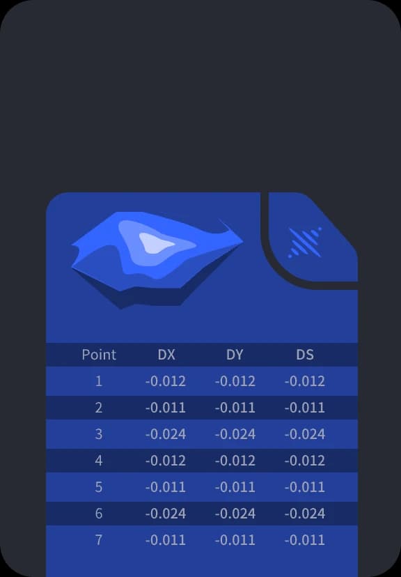
Calculate volumes, compare changes and generate analysis reports.
LixelStudio
Specifications reflect the stated test conditions. Features depend on software version, device and licence; the quotation confirms your configuration.
04 / Enquire
Tell us about your site, area and deliverables. We will confirm equipment, software, accessories and a quotation.
XGRIDS
LixelStudio